
NASA’s Terra Satellite Detects Strength of Tropical Storm 07W from the Side
Wind shear can push clouds and thunderstorms away from the center of a tropical cyclone, and that is exactly what NASA’s Terra satellite observed in the newly formed Tropical Storm 07W.
Using infrared light, Terra analyzed the storm’s intensity and found that most of the strongest storms were concentrated on the eastern side. Infrared data measures temperature, and the coldest cloud tops indicate the most powerful thunderstorms that extend high into the atmosphere.
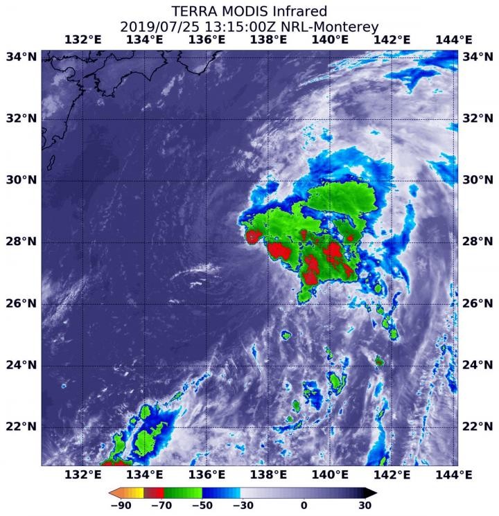
Figure 1. Strength of Tropical Storm.
On July 25 at 9:15 a.m. EDT (1315 UTC), Terra’s Moderate Imaging Spectroradiometer (MODIS) captured infrared data showing cloud top temperatures as low as minus 70°F (minus 56.6°C), signaling strong storms capable of producing heavy rainfall. The storm is experiencing moderate vertical wind shear from the southwest [1]. Wind shear measures changes in wind speed and direction with altitude, and in tropical cyclones—essentially rotating cylinders of wind—vertical alignment is crucial for maintaining or increasing strength. Shear can disrupt this alignment, displacing clouds and showers away from the storm’s center.
The Joint Typhoon Warning Center (JTWC) reported at 11 a.m. EDT (1500 UTC) on July 25 that Tropical Storm 07W was near 27.5°N latitude and 137.4°E longitude, roughly 483 miles south-southwest of Yokosuka, Japan, moving north with maximum sustained winds of 35 knots (40 mph / 62 kph). Figure 1shows Strength of Tropical Storm.
JTWC forecasts indicate that 07W will continue north, and upon reaching Japan, it is expected to turn east-northeast and eventually dissipate.
Reference:
- https://bioengineer.org/nasas-terra-satellite-finds-tropical-storm-07ws-strength-on-the-side/
Cite this article:
Keerthana S (2025), NASA’s Terra Satellite Detects Strength of Tropical Storm 07W from the Side, AnaTechMaz, pp.555
Recent Post
-
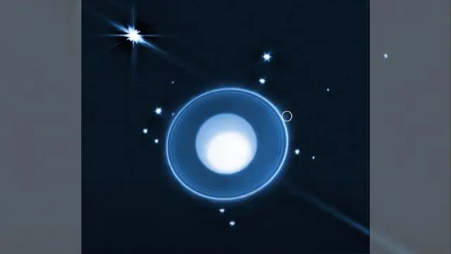
Webb Telescope Spots Uranus’ 29th Moon Missed by Voyager 2 Nearly 40 Years Ago
NASA’s James Webb Space Telescope has uncovered a previously...
-
Small Magnets, Big Impact: A Low-Power Breakthrough for Space Oxygen Generation
Who would have thought a simple magnet could help solve one of..
-

Moon Formation Spotted Around Wandering Planets Drifting Through Space
Free-floating planetary-mass objects — giant, starless bodies....
-
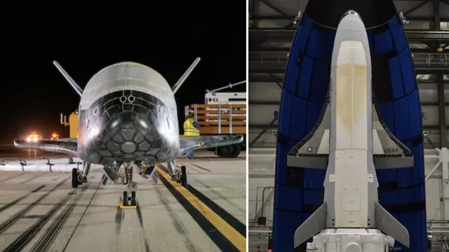
US Classified Military Space Plane Set for New Mission with Hidden Objective
A secret space plane is set to embark on its new mission. The X-37B....
-
NASA’s Space Solar Designs May Cut Battery Use by 70% and Increase Power Output
A new study led by King’s College London suggests that...
-
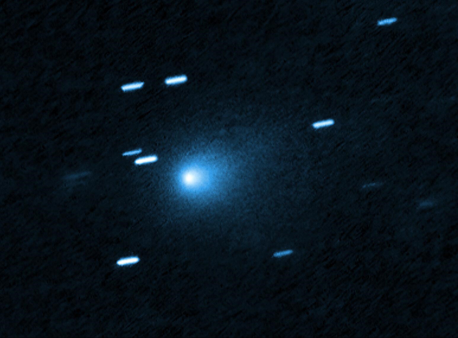
NASA Spots New Interstellar Object Entering Solar System: Alien Probe Possible?
On July 1, astronomers observed a fast-moving object heading toward....
-
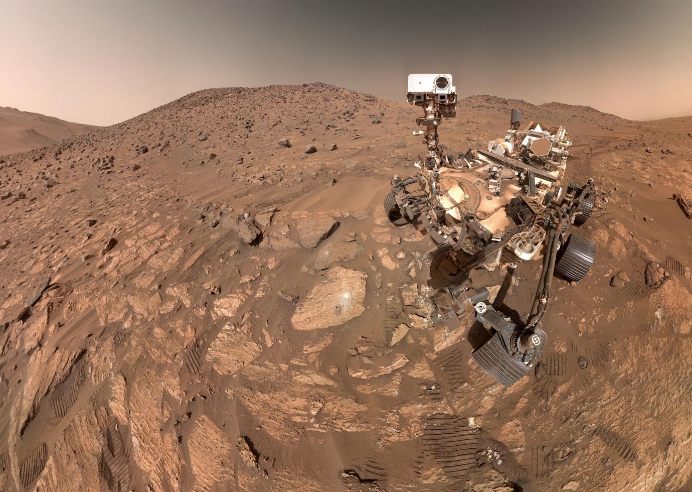
Perseverance Rover Uncovers Possible First Evidence of Life on Mars
A rock sample called “Sapphire Canyon,” taken from the Bright....
-

Physicists Say Black Hole May Explode Within This Decade with 90% Probability
Physicists have traditionally believed that black holes end their lives....
-
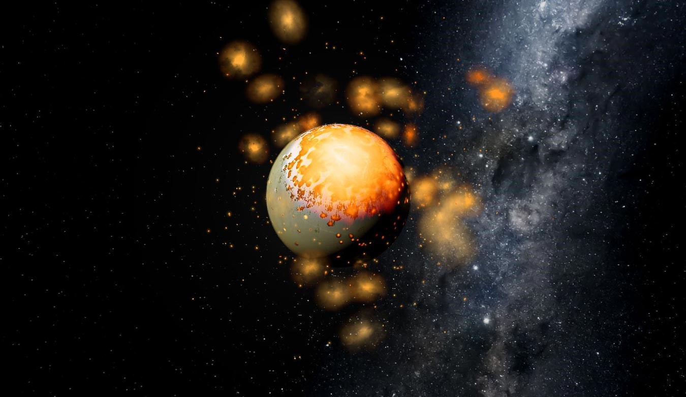
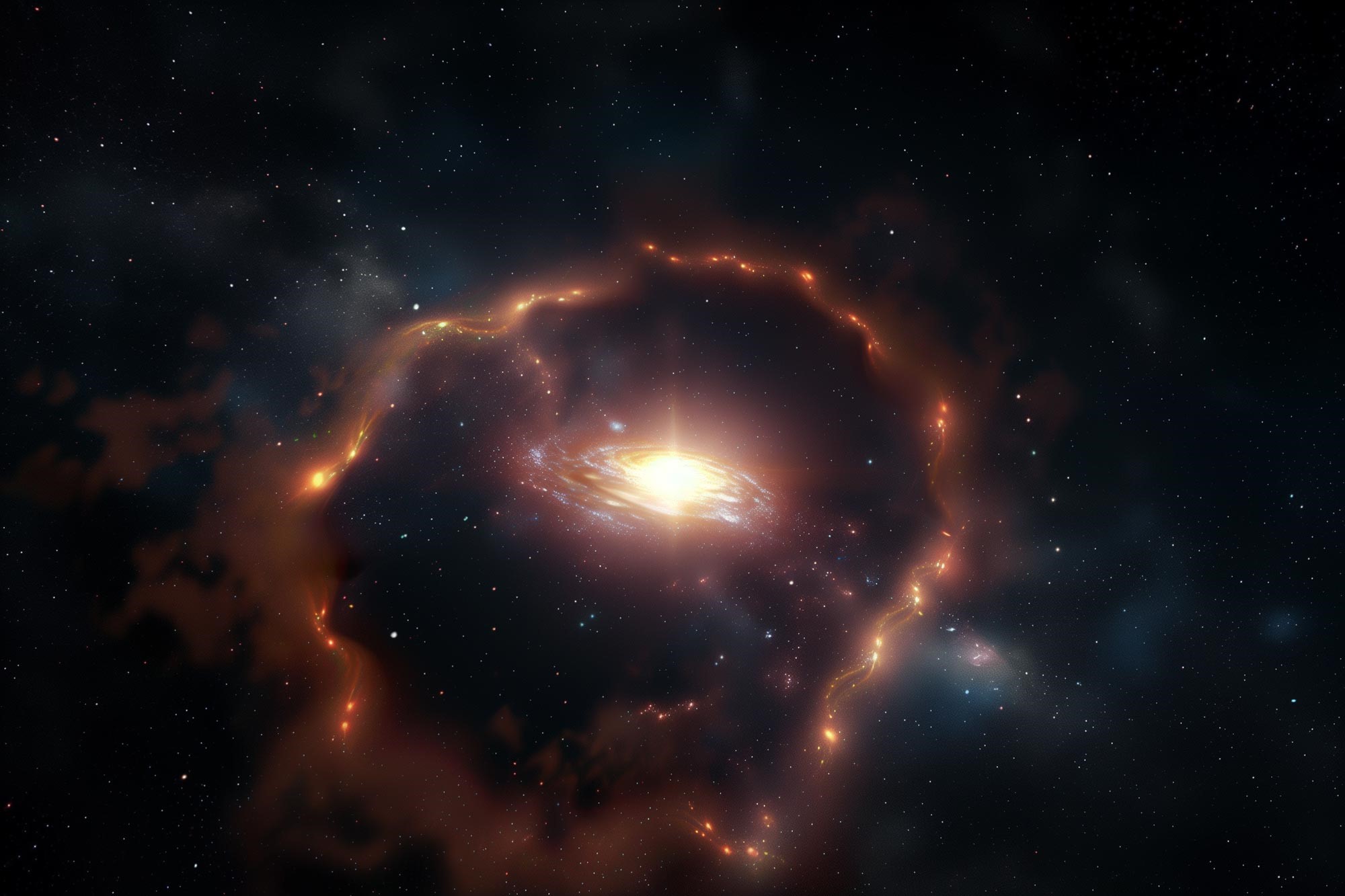
Planetary Collisions May Reveal Clues to Alien Habitability
Researchers at Southwest Research Institute, in collaboration with Yale University, have published a....
Earliest Cosmic Magnetic Fields Were as Weak as Brain Waves
Magnetic fields emerging in the Universe’s earliest moments were billions of times weaker than a....
-
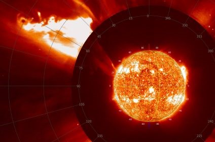
Solar Flares Are 6.5 Times Hotter Than Previously Estimated
Researchers at the University of St Andrews have found that particles in solar flares can become up to 6.5.....
-
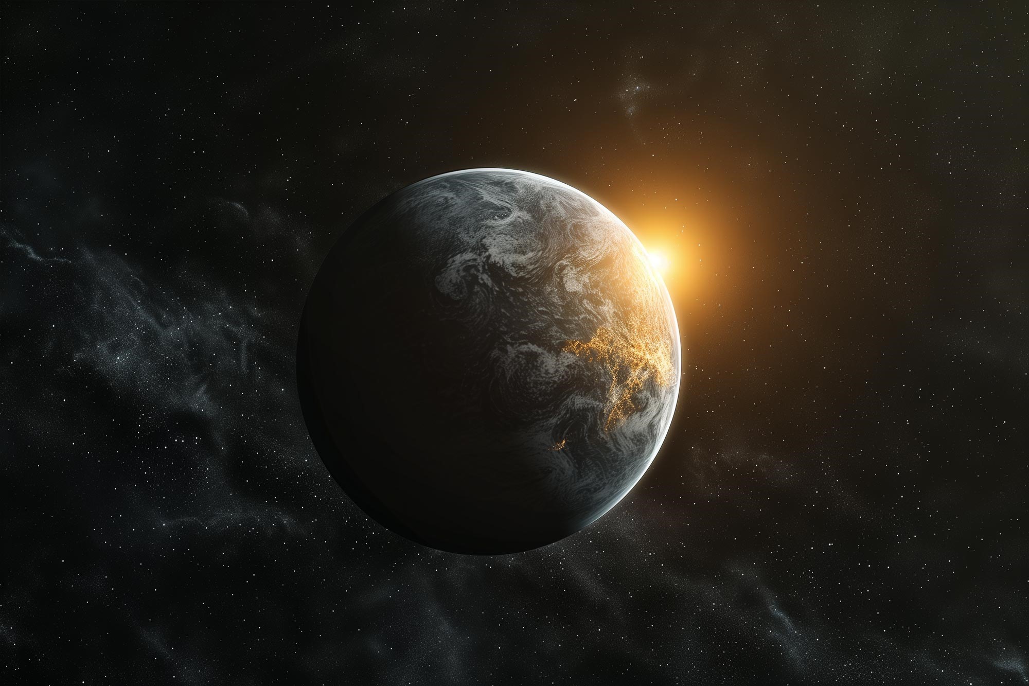
The Milky Way’s Habitable Zone May Be Larger Than Previously Believed
The Galactic Habitable Zone (GHZ)—the area of a galaxy considered....
-
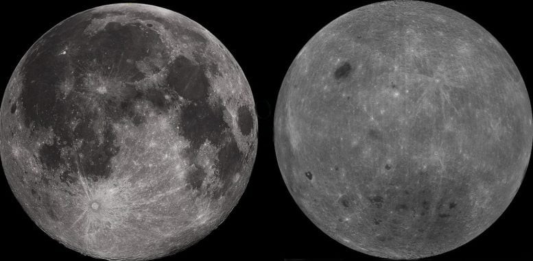
Researchers Discover Stark Differences Between the Moon’s Near and Far Sides
New insights from China’s Chang’e 6 mission suggest that the....
-
AI Uncovers Hidden Martian Storms Blasting Across the Planet At 160 Km/H
Mars may look calm and lifeless from a distance, but new research...
-
NASA’s Terra Satellite Detects Strength of Tropical Storm 07W from the Side
Wind shear can push clouds and thunderstorms away from...