
How Robots Uncovered A 280,000-Year-Old Seafloor Secret Beneath Big Sur
Ancient Seafloor Pockmarks Explained
Extensive research led by the Monterey Bay Aquarium Research Institute (MBARI), in partnership with the U.S. Geological Survey (USGS) and Stanford University, has revealed a surprising explanation for thousands of mysterious circular depressions—known as pockmarks—scattered across the seafloor off Central California. Previously believed to result from methane gas eruptions beneath the seabed, new evidence suggests these features were actually formed by massive, ancient underwater sediment flows.
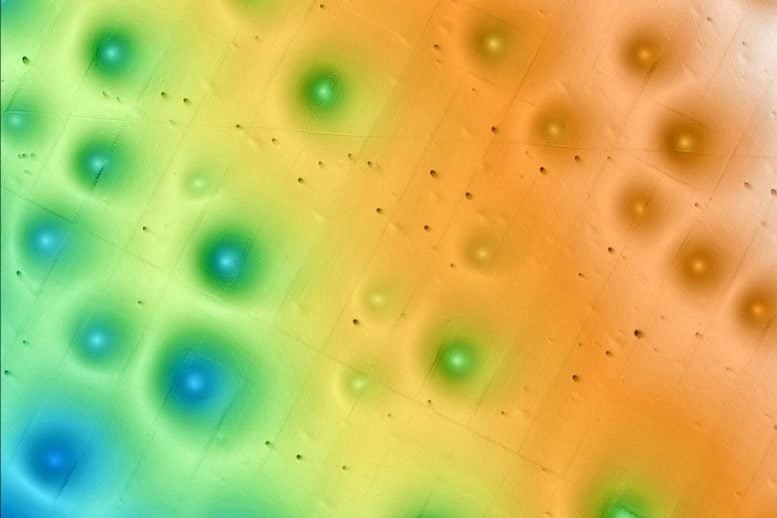
Figure 1. Robotic Exploration Reveals 280,000-Year-Old Seafloor Mystery off Big Sur.
Vast Seafloor Depression Field Sparks Concern
Located just off the coast of Big Sur, the Sur Pockmark Field covers an area as large as Los Angeles and contains over 5,200 deep, circular depressions. Each pockmark measures around 200 meters across—about the length of two football fields—and sinks roughly five meters deep. Until recently, these massive pits were thought to have formed from methane gas bubbles rising through the seabed. With clean energy projects planned nearby, experts worried that methane emissions might threaten seafloor stability and pose risks to infrastructure. Figure 1 shows Robotic Exploration Reveals 280,000-Year-Old Seafloor Mystery off Big Sur
Expansive Seafloor Depression Field Raises Alarms
Just off Big Sur’s coast lies the Sur Pockmark Field—an area as vast as Los Angeles, dotted with over 5,200 deep, circular pits. Each depression stretches about 200 meters wide, roughly the length of two football fields, and sinks five meters deep. Previously, many thought these massive formations were caused by methane gas bubbles escaping from beneath the seabed. With clean energy developments approaching, experts grew concerned that methane might threaten seafloor stability and jeopardize infrastructure.
No Methane Found: Underwater Sediment Flows Identified as the True Force
Contrary to earlier theories, MBARI’s advanced ocean research technology revealed no evidence of methane in the Sur Pockmark Field. Instead, the data pointed to a different force: gravity-driven sediment flows. These powerful underwater avalanches—composed of mud, sand, and water—have been carving and sustaining the seafloor depressions for hundreds of thousands of years.
“There are many unanswered questions about the seafloor and its processes,” said Eve Lundsten, MBARI Senior Research Technician and lead on the project. “This research offers critical insight for resource managers and others evaluating potential offshore infrastructure sites, helping them make informed decisions.”
High-Tech Mapping and Sampling Uncover Seafloor Mysteries
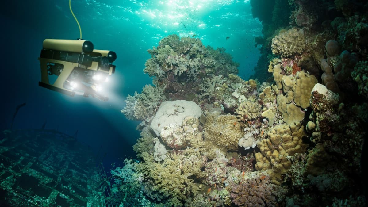
To investigate the Sur Pockmark Field, the research team utilized MBARI’s cutting-edge underwater robotics. Autonomous underwater vehicles (AUVs)—torpedo-shaped, self-guided robots—were first deployed to map the region. Unlike traditional ship-mounted sonar, which produces low-resolution maps due to the great distance from the seafloor, AUVs can travel much closer to the ocean bottom, capturing highly detailed images of the terrain. These AUVs were also equipped with instruments to profile sediment layers beneath the seafloor.
Guided by this detailed mapping, researchers then used MBARI’s remotely operated vehicle (ROV) Doc Ricketts to collect sediment samples. Controlled from aboard an MBARI research vessel, the ROV enabled scientists to reconstruct the geological history of individual pockmarks.
These formations lie along the continental margin—a dynamic zone where the shallow continental shelf transitions into the deep ocean. Periodic sediment gravity flows can sweep massive amounts of material through this area. Thanks to MBARI’s advanced tools and the samples they gathered, researchers were able to piece together a detailed history of sediment movement and pockmark formation in this active seafloor region.
Ancient Turbidite Flows Help Preserve Seafloor Pockmarks
Sediment samples and sub-bottom images collected from the Sur Pockmark Field revealed multiple layers of sandy deposits known as turbidites. These layers provide strong evidence that powerful sediment gravity flows have occurred intermittently in the region for at least the past 280,000 years.
The data suggests that these underwater flows erode sediment from the center of each pockmark, effectively reshaping and preserving these distinct seafloor features over time. Rather than being remnants of gas eruptions, the pockmarks are long-lasting geological structures maintained by repeated sediment movement.
Global Significance: Pockmarks and Offshore Wind Development Risks
Seafloor pockmarks aren’t unique to Central California—they’ve been discovered in oceans around the world. In many regions, these features have been linked to the release of methane or other fluids from beneath the seafloor. Such fluid escape can lead to instability, posing risks to seafloor infrastructure like the anchors used for offshore wind turbines.
In October 2018, the U.S. Bureau of Ocean Energy Management (BOEM) designated areas off Central California's coast for potential offshore wind energy leasing. In response, MBARI launched this research to address key questions about seafloor stability—critical information for the safe and sustainable development of offshore wind energy.
“Expanding renewable energy is essential to reducing carbon dioxide emissions and mitigating irreversible climate change,” said MBARI President and CEO Chris Scholin. “But many questions remain about the environmental impacts of offshore wind projects. This research is one of the ways MBARI is helping to answer foundational questions about our ocean to support informed, responsible use of marine resources.”
Source: SciTECHDaily
Cite this article:
Priyadharshini S (2025), How Robots Uncovered A 280,000-Year-Old Seafloor Secret Beneath Big Sur, AnaTechMaz, pp. 181
Recent Post
-
How Robots Uncovered A 280,000-Year-Old Seafloor Secret Beneath Big Sur
Extensive research led by the Monterey Bay Aquarium Research Institute....
-
DJI Aims to Expand Creative Possibilities with the Triple-Camera Mavic 4 Pro
The Mavic 4 Pro’s triple-camera system provides “aerial storytellers....
-
Rivr’s Dog-Like Robots Team Up with Veho Vans to Tackle The ‘Last 100 Yards’ of Parcel Delivery in Austin
Most delivery automation stops at the curb, but for Veho and Zurich-based....
-
Robot 3D-Printed in One Piece Upside-Down, Then Walks out of the Printer
Although soft-bodied robots have many potential applications, they are usually....
-
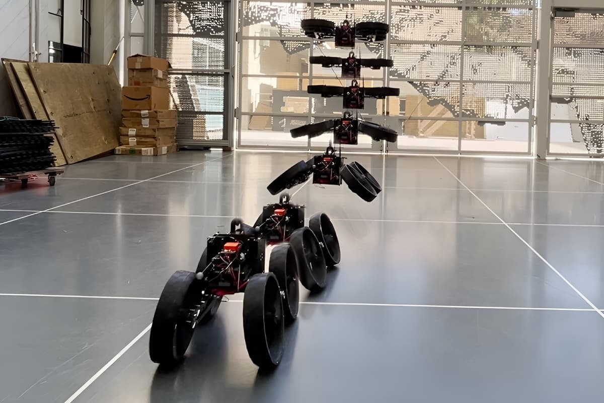
Flying Robot Transforms Mid-Air to Land and Roll-on Wheels
Imagine a robot capable of transforming between a flying drone ....
-

Elon Musk Unveils Dancing Tesla Optimus Robot in New Video
Elon Musk recently posted a video on his X account showcasing the Tesla....
-
Japan's SPIDAR Robot Crawls and Flies with Precision Thrust Control
Researchers at the University of Tokyo have developed a groundbreaking....
-
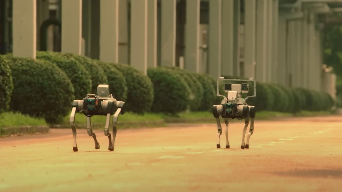
Singapore Embraces Robot Dogs for a Smarter, Safer Future
Robot dogs are taking on an expanding range of roles in Singapore....
-
Palm-Sized Bipedal Robot Zippy Runs, Climbs, And Takes on Rescue Missions
Bipedal robots aren’t just human-sized machines with arms and ....
-

Mini Brain-Inspired Tech Enables Humanoid Robots to See and Think in Real Time
Researchers at RMIT University in Australia have developed an advanced....
-
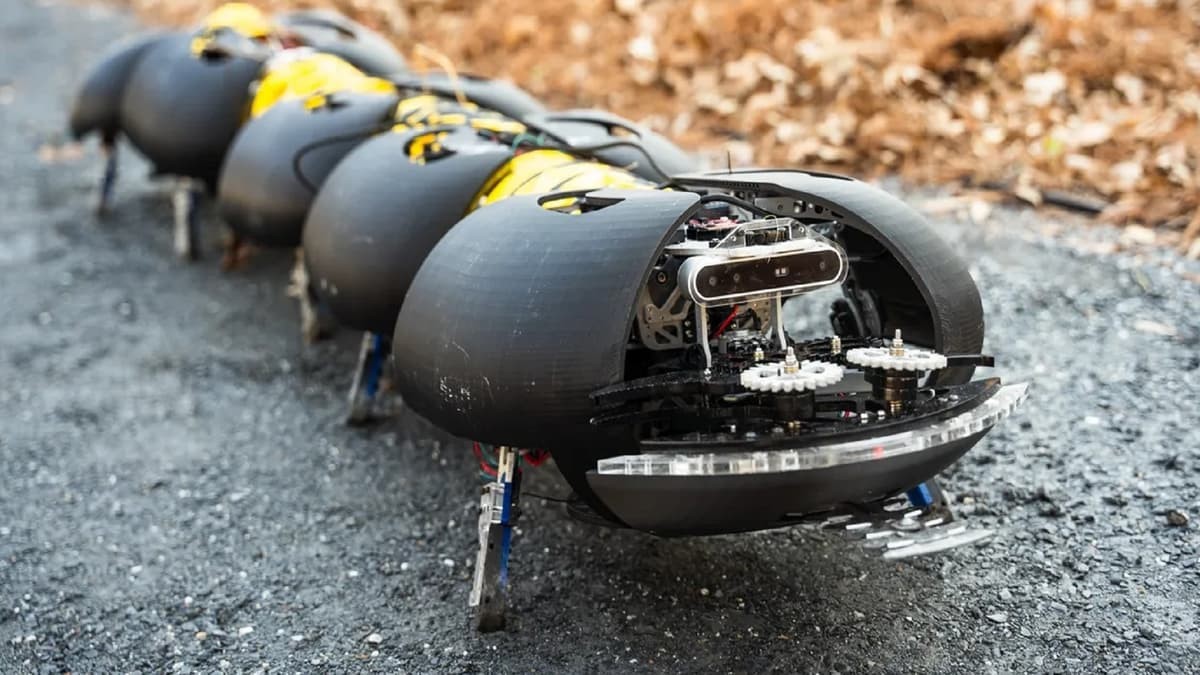
Centipede-Like Robots Offer a More Affordable Solution for Weed Control in Vineyards and Blueberry Farms
Inspired by the elongated, flexible movement of centipedes, Atlanta-based ....
-
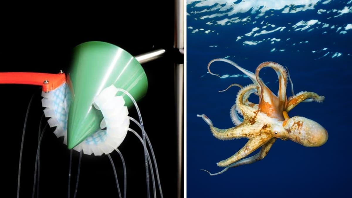
An Octopus-Inspired Robot Can Autonomously Determine How to Grip Objects with High Accuracy
Scientists have developed a soft robot that can autonomously decide how to move....
-
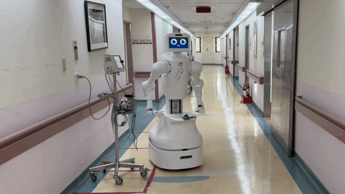
Taiwan Deploys Nurabot, the World's First AI Nurse, to Address Healthcare Challenges
As the world faces a looming shortage of 4.5 million nurses by 2030....
-
U.S. Student Develops Sound-Driven Metamaterial to Enable Remote Control of Underwater Robots
Sound waves are more than just carriers of music and speech—they’re ....
-

Chinese Humanoid Robots Showcase Advanced Combat Abilities in Lead-Up to World’s First Robot Boxing Match
Humanoid robots in China recently demonstrated impressive combat....