
Affordable Radars Enhance Air Traffic Control for Drone Safety
It turns out that such mishaps can be prevented at a low cost. Researchers at Brigham Young University (BYU) in Utah believe an ad-hoc air traffic control system for drones can be implemented for just a few hundred dollars.

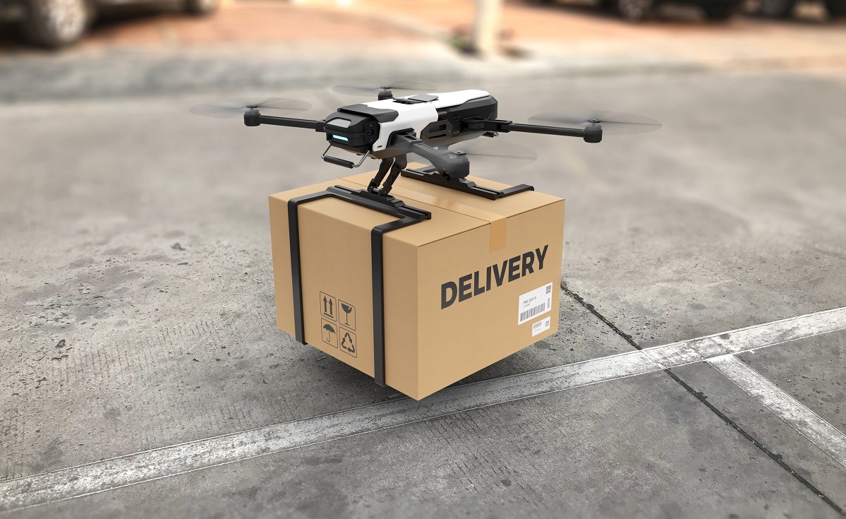
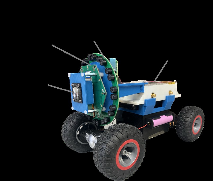
Figure 1. Low-Cost Radars Improve Drone Air Traffic Control and Safety.
The team's Local Air Traffic Information System (LATIS) utilizes a network of low-cost radars, a base station with networking equipment and a laptop, and an advanced algorithm to accurately monitor multiple drones flying at low altitudes in real-time. Figure 1 shows Low-Cost Radars Improve Drone Air Traffic Control and Safety.
While airport traffic control towers rely on sophisticated, multi-million-dollar systems, it’s fascinating to see that drones can be effectively tracked with a much more affordable setup.
They can also be quickly recalibrated if any of the radars are bumped or repositioned. These features make the system particularly valuable in areas impacted by natural disasters or other emergencies, where monitoring drone activity and preventing collisions with aircraft is crucial.
The radar network utilizes real-time kinematic global positioning system (RTK-GPS) data. Each radar is a phased-array system capable of scanning its field of view in under a second. By positioning the radars 100 feet (30 meters) apart and aligning them skyward with overlapping coverage, the team's algorithm integrates their data to simultaneously track multiple drones in motion.
This networked approach with phased-array radars is highly effective for tracking drones at low altitudes while addressing the limitations of a single radar. It overcomes challenges such as limited range, difficulty tracking objects in complex environments like crowded urban areas, and the risk of mechanical failure in rotating radar systems.
The Need for Drone Air Traffic Control
With the rapid rise of drone usage in industries like delivery, agriculture, and emergency response, ensuring safe airspace is more critical than ever. However, traditional air traffic control systems are expensive and designed for manned aircraft, making them impractical for widespread drone monitoring.
The Innovation Behind LATIS
Researchers at Brigham Young University (BYU) have developed the Local Air Traffic Information System (LATIS), an affordable, real-time drone tracking solution. Using a network of low-cost phased-array radars, networking gear, and a laptop, this system provides an efficient way to monitor drones at low altitudes.
How the Radar Network Works
LATIS employs real-time kinematic global positioning system (RTK-GPS) data to enhance tracking accuracy. By placing radars 100 feet (30 meters) apart and aligning them with overlapping fields of view, the system combines data from multiple sources to track multiple drones simultaneously, ensuring reliable monitoring in real-time.
Overcoming Traditional Radar Challenges
Unlike single-radar systems, which struggle with limited range and urban obstructions, LATIS's networked approach allows for better coverage and resilience. The phased-array radars eliminate mechanical failures common in rotating radar systems, making this solution more reliable and adaptable.
Real-World Applications and Future Potential
This cost-effective system has significant implications for drone regulation and safety, especially in disaster zones where monitoring drone activity is crucial. With further development, LATIS could become a standard solution for urban drone traffic management, enabling safer skies at a fraction of traditional costs.
Source: : NEW ATLAS
Cite this article:
Priyadharshini S (2025),"Affordable Radars Enhance Air Traffic Control for Drone Safety" , AnaTechmaz, pp.124
Recent Post
-

EPFL's Origami-Inspired Robot Revolutionizes Shape-Shifting Technology
In a remarkable feat of engineering, Jamie Paik and her team...
-

Next-Generation Robot Skin: Advancing Robotics and Prosthetics with Smart, Stretchable Sensors
In an innovative collaboration...
-
Are We Ready for Robots to Replace Our Friendly Delivery Folks
The world of deliveries is undergoing a futuristic transformation, with tech giants like Amazon and Walmart...
-
Robotic Chemist Discovers How to Make Oxygen from Martian Minerals
A chemist robot, operating autonomously in a laboratory...
-
Unveiling the Hidden Weaknesses in Soft Robotics: A Closer Look at Conical Shells
Soft robotics, with its squishable and deformable components...
-
A Leap Forward in Material Diversity and Robotic Innovation
The realm of 3D printing has undergone a revolutionary transformation, propelled...
-
Pipeline Inspections with Mobile Robot Technology
In a groundbreaking study, the University of Bristol, under the leadership of Professor...
-

ChromoSense: A Colorful Breakthrough in Robotic Sensing Technology
In the dynamic realm of robotics, researchers at the Reconfigurable...
-

A Snail-Inspired Robot Takes on the Fight Against Ocean Microplastics
In a world grappling with the pervasive issue of plastic pollution, scientists are turning to nature...
-
Unleashing the Dragon Firefighter: A Revolutionary Robotic Solution to Combat Fires
In the world of firefighting, a new and innovative ally may soon join...
-
Drone Technology for Construction Safety
In the realm of drone innovation, Professor Kenji Shimada and his team have achieved a milestone...
-
Meet Mugatu, the Single-Motor Steerable Bipedal Marvel
In the ever-evolving landscape of robotics, breakthroughs are continually reshaping the possibilities...
-

Soft Robotics Offers Hope for Freezing Symptoms of Parkinson’s Disease
Parkinson's disease, affecting over 9 million people worldwide, often brings...
-

The Future of Environmental Monitoring with Plant-Inspired Robotics
In the quest to collect vital climate change data from inhospitable...
-

KAIST's Revolutionary Soft Fluidic Switch: Pioneering Ultra-Low Power Technology for Soft Robotics and Beyond
A team of researchers at the Korea...