
Acoustic Navigational Tech Gets Scuba Divers Using GPS Maps
Due to the limitations of GPS underwater, scuba divers often struggle to track their real-time positions on digital maps. However, a solution has emerged in the form of the Diver Navigation System (DNS), developed by the German underwater technology company Evo Logics. Comprising a tracker unit, a diver console, and an ultra-short baseline (USBL) buoy, DNS employs both floating and wearable acoustic transponders to overcome this challenge.
The USBL buoy, floating on the water's surface above the diving area, continuously emits acoustic signals or "pings" through the water. These signals are received by the tracker unit attached to the diver's air tank, which automatically responds with its own ping. By analysing the time elapsed between the initial ping and the reply, along with the direction of the reply, the diver's position relative to the buoy can be determined. [1]
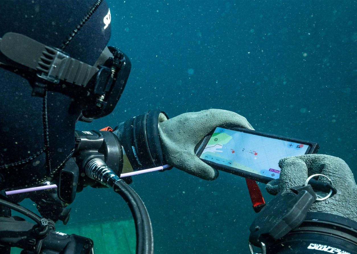
Figure 1. EvoLogics presents the new Diver Navigation System.
Figure 1 EvoLogics presents the new Diver Navigation System. shows Since the buoy has access to GPS via a GNSS module, its location on a map can be established by an integrated microcomputer. This information is relayed to the diver's console, a smartphone-sized device worn on the wrist, allowing the diver to monitor their location on the map in real-time. Additionally, the console enables divers to check the positions of other group members, as the buoy can communicate with up to five trackers simultaneously. The buoy also features onboard Wi-Fi for transmitting data to a support crew on the surface, who can track all divers' locations using a laptop or tablet.[2]
Furthermore, the console facilitates simple preprogrammed text messaging between divers via acoustic pulses, with the support crew also able to send and receive messages through the buoy's Wi-Fi connection.
In terms of performance, the system boasts an underwater communication range of 1.5 km (0.9 miles), a positional accuracy of approximately ±10 cm (3.9 in), and a claimed battery life of up to eight hours. Both the tracker and console are rated for a maximum depth of 50 m (164 ft).
Reference:
- https://newatlas.com/outdoors/evologics-diver-navigation-system/
- https://evologics.com/diver-navigation#key-features
Cite this article:
Gokila G (2024), Acoustic Navigational Tech Gets Scuba Divers Using GPS Maps, AnaTechMaz, pp.246
Recent Post
-
MIT's Vibrating Pill Offers a New Approach to Appetite Control
MIT engineers have developed an innovative approach to weight management with an...
-

The Link Between Lifestyle Habits and Work Performance
In the hustle and bustle of today's fast-paced work culture, the impact of lifestyle habits on...
-

Social Media
Social media refers to online platforms and tools that allow users to create, share or exchange...
-

Digital Transformation
Digital transformation refers to the process of using digital technologies to fundamentally...
-
A Hybrid Camera System Enhances Your Smartphone With "Super-Telephoto" Zoom Capabilities
Beaverlab, a tech company, has initiated a Kickstarter campaign to secure funds for the...
-
Acoustic Navigational Tech Gets Scuba Divers Using GPS Maps
Due to the limitations of GPS underwater, scuba divers often struggle to track their real-time...
-
Urwerk's Horological Evolution: From UR-101 To Spacetime Blade Clock with Nixie Tubes
Urwerk made its mark on the horological scene at Baselworld 1997 with the UR-101 and...
-

Utilizing Body's Static Electricity to Power Water Purifiers
Static electricity has transitioned from mere party tricks to a viable energy source in the past...
-

Implantable Batteries Powered by The Body's Oxygen
From pacemakers to neurostimulators, implantable medical devices depend on batteries to...
-
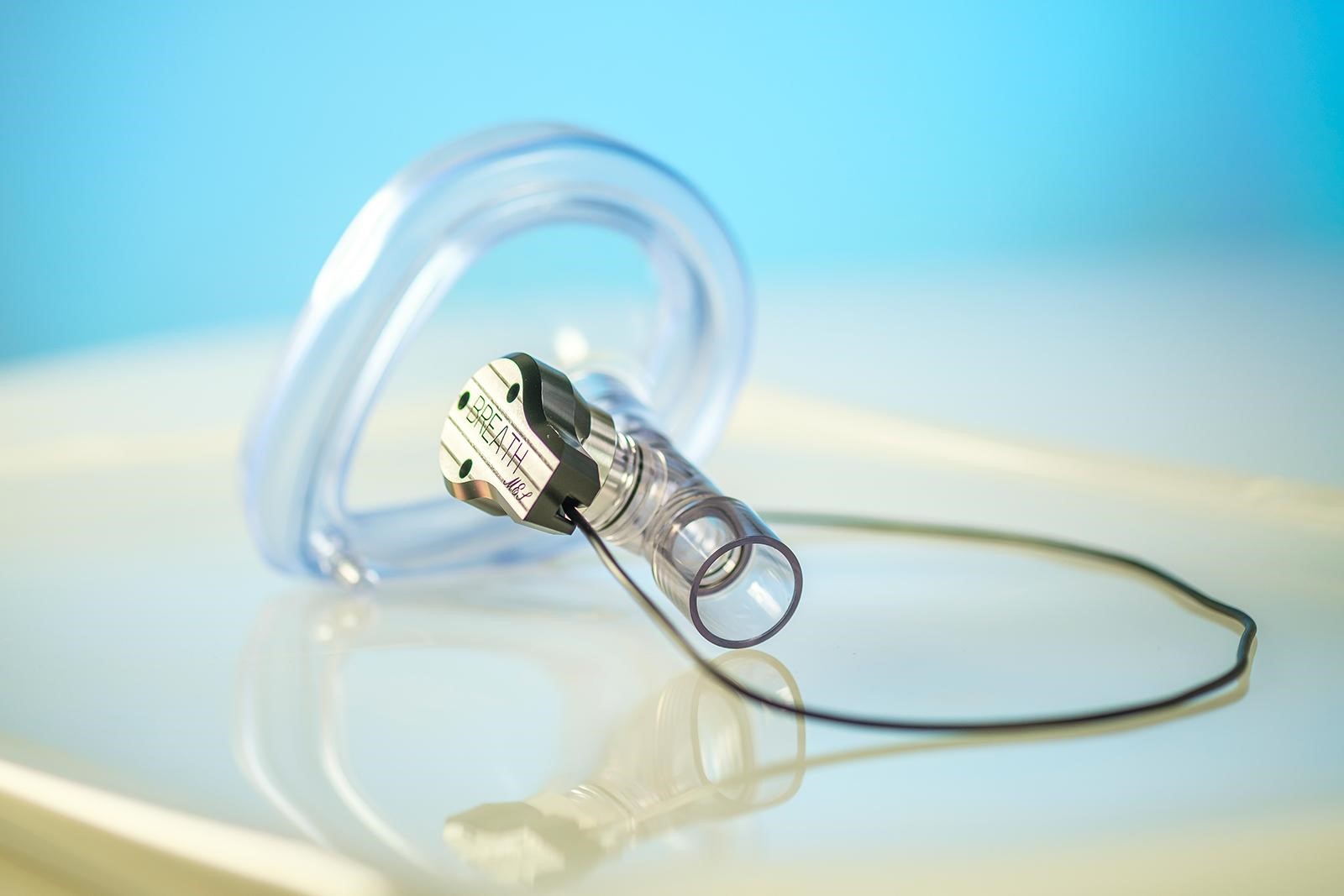
Breath-Analysing Sensor Adjusts Illumination to Indicate Blood Oxygen Levels
A novel sensor may soon enable hospitals to assess patients' blood oxygen levels through...
-

Induction Welding Unleashes the Full Potential of Composite Metal Foams
Composite Metal Foams (CMFs) have emerged as a revolutionary material, exhibiting a...
-

MIT's Breakthrough: Nanoparticle Sensors Revolutionize Lung Cancer Diagnosis
In a groundbreaking development at MIT, a revolutionary technology promises to simplify the...
-
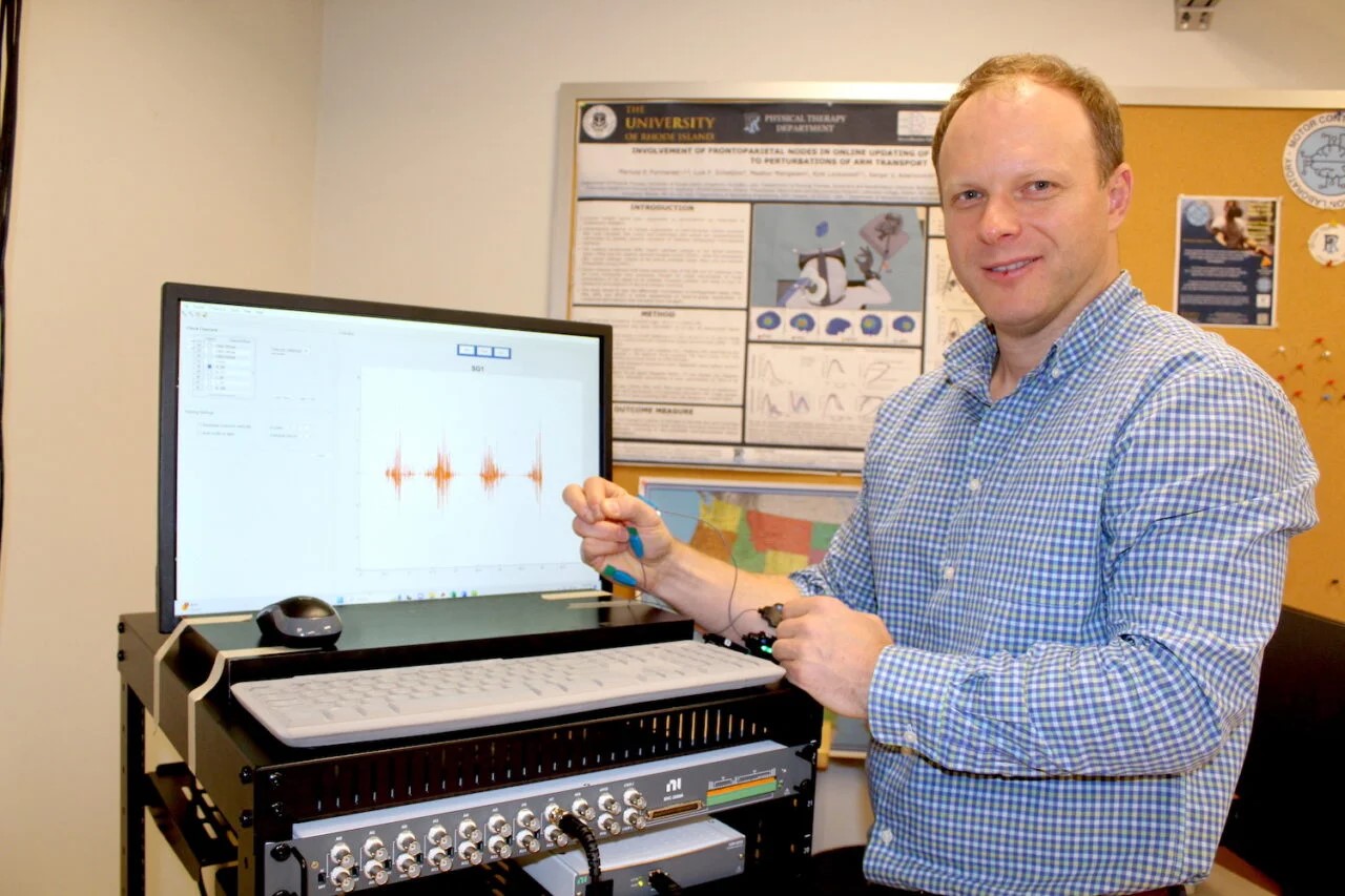
Revolutionizing Stroke Rehabilitation: URI's Innovative Robotic Platform
Each year, around 800,000 new stroke cases are reported in the United States, leaving...
-
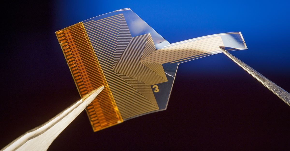
Transparent Neural Implant Developed at UC San Diego Offers Breakthrough in Brain Activity Monitoring
Researchers at the University of California San Diego have made significant strides in the...
-

Innovative Algorithm Enhances Tipping Point Prediction by Filtering Noisy Data
To anticipate critical thresholds, whether in climate patterns or mental health trends,...